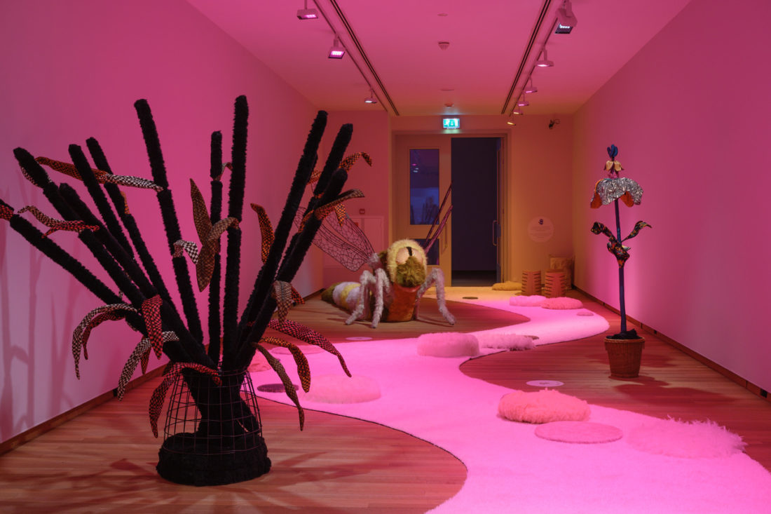
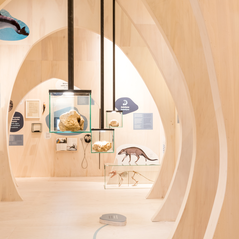
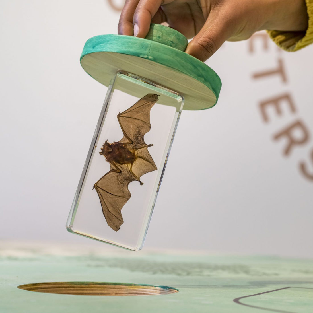
Life on mount Saint Peter

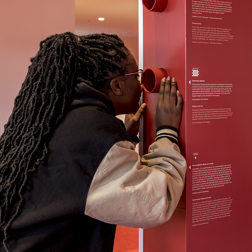
This exhibition was made to show the beauty of the different types of life in this Natura 2000 area, and what this collaboration of nature organizations has done to protect and recover them. All the senses are included in this journey of discovery; you can

Terra Mosana

This Euregional project involves the digitization of cultural heritage. The map on the floor shows the region’s cities as pixel-resembling squares, placing emphasis on the region’s cities as opposed to its boarders, unlike traditional maps would. This map doubles as a giant board-game for a

Robin van Hontem & Studio Kernland

We celebrate the many collaborations between Robin van Hontem and Studio Kernland with the introduction of a joint style. What we do? We set the scene for your story. We dive into the content and look for ways to invite the visitor into the topic. Offer them

Skin

For this traveling exhibition we were asked to develop the entrance and closing area and project tags. In times where touch is lacking, we ask you to enter via this barefoot path. Materials found in the presented works can be touched here, with your feet.

Arusha Food Systems Maps

The European Centre for Development Policy Management asked me to make two maps for their report "Sustainable food systems through diversification and indigenous vegetables: An analysis of the Arusha area". The report describes the food system(s) of rural, peri-urban and urban areas in and around